 |
|
|
|
 |
 |
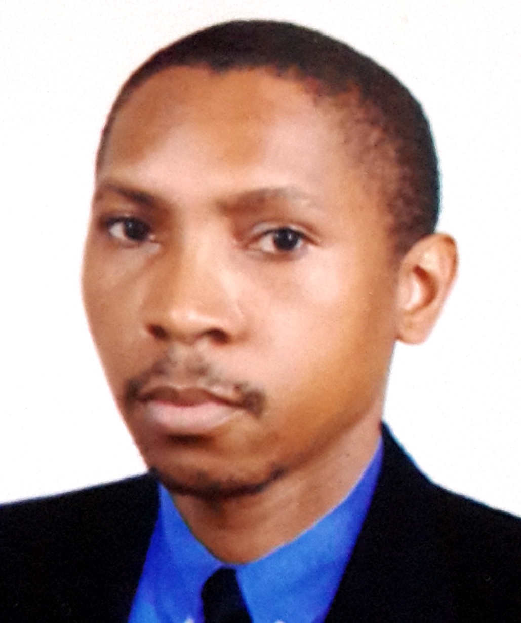
Dr. Ali Atumaneaatumane@ucm.ac.mz |
-
Understand the importance of research in the process of knowledge construction and the main types of research;
-
Understand the scientific method (integration of deduction and induction in scientific research, the construction of the problem and the analysis model);
-
Understand ways to search for objectivity in the production of scientific work and understand the importance of the types of information sources, information collection forms and rules for data presentation;
-
Understand the nature of geographic information (specially the cartographic and statistical data).
-
Learning how to build instruments for gathering information (questionnaires, sketches and inventory files);
 |
-
To know the methods and techniques of data acquisition in order to obtain positional information and qualitative of the Earth’s surface.
-
To illustrate the methods of data acquisition by land or space, particularly satellites for Earth observation and Positioning and Navigation.
Understand the problems of acquisition and processing of geographic information in its various aspects: cartographic production, processing of satellite imagery and aerial photography, implementation and management of a geographic information system for agriculture.
 |
-
Understand the basic principles of remote sensing and processing mode of this type of data in geographic information;
-
Describe the major satellites and sensors and realize what the most suitable for the production of various types of geographic information;
-
Implement and evaluate the error of classification algorithms to produce images of geographic information;
-
Identify the main sources of geographic data and acquire skills to create, edit, import, GIS, modeling, presentation and analysis of spatial data;
-
Describe how the setting and changing projection systems for spatial data.
 |
-
Organization of information into charts and graphs, frequency tables interpretation;
-
Calculate and interpret descriptive statistics;
-
Develop and interpret the results of classical regression models, as well as understand and verify the main assumptions of the models
-
Explore and interpolate spatial data using deterministic procedures, calibrate the model parameters and validate the model results
-
Use of appropriate software to explore and interpolate geographic data.
|
|
-
Understand and interpret the most important variables in the production strategy on Precision Farming;
-
Understand and interpret the ability of the geoelectric sensors to analyse the spatial variability of soil quality. Using spatial information in the design of intelligent soil sampling and design of homogeneous areas of treatment;
-
Understand and interpret the ability of performance monitors in the interpretation of the spatial variability of productivity/quality of production. Use of the information in the optimization of production factors;
-
Understand and interpret the ability of vegetation sensors in the interpretation of the spatial variability of the vegetative distribution (quantity/quality of biomass monitored , irrigation , nutrition and pesticide application);
-
Mastering the central aspects of the technologies (VRT in real time or differentiated ) as well as aspects of decision making (agronomic, economic and environmental).
 |
-
Understand the concepts of data, information and knowledge in the context of agricultural enterprise.
-
Understand the processes involved in the management of information in agriculture.
-
Being able to identify different types of information systems used in agricultural business and its application.
-
To know the capabilities and applications of the Internet and associated technologies in agriculture.
 |
Implementing Precision Farming in the CommunityProfessor Alexandre Baptistaa.baptista@novaims.unl.pt |
-
Identify key opportunities and constraints of precision agriculture adoption in Cape Verde/Mozambique.
-
Explore the potential of GIS technologies to promote the integration of technical and scientific knowledge with local/traditional knowledge.
-
Apply the concepts and approaches to PPGIS/community mapping in context of pilot projects.
-
Critically assess the main results achieved over project.
Develop a script to support the development of projects of precision farming in Cape Verde/Mozambique.
